-40%
GARMIN BLUECHART NEW YORK MUS004R DATA CARD MARINE MAP NAVIGATION CHIP
$ 24.77
- Description
- Size Guide
Description
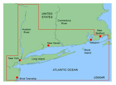
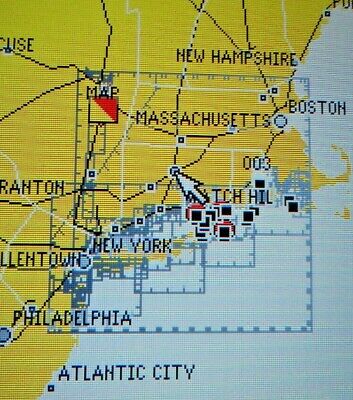
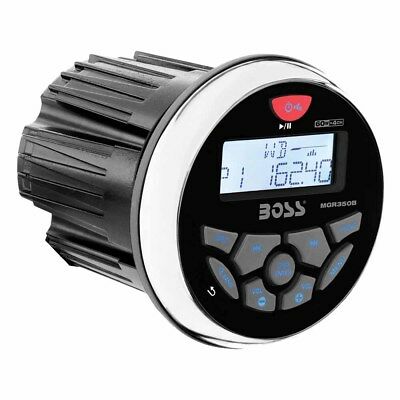
GARMIN BLUECHART NEW YORK MUS004R DATA CARD MARINE MAP NAVIGATION CHART. Works great. The first picture shows the coverage area, the remaining pictures show this card being used in a Garmin GPS and the actual card you will receive.Compatible Garmin GPS Models:
GPSMAP 172, 172C, 176, 176C, 178, 178C, 182, 182C, 188, 188C, 192C, 196, 198C, 2006, 2006C, 2010, 2010C, 232, 238, 276C, 292, 296, 298, 3005C, 3006C, 3010C, 376C, 378, 396, 478, 498 and StreetPilot III.
Note:
Not compatible with the GPSMAP 180/185
MUS004R Covers:
Providence to New York, includes Narragansett Bay, all of Long Island, the entire Hudson River, New York Harbor through Perth Amboy and Brick Township.
Features Include:
Chart-specific information, including chart name and number, scale, revision date, latest Notice to Mariners date
Object-oriented cartography
Faithful representation of published official paper charts
Shaded depth contours
Intertidal zones
Spot soundings
Navaids with view range and coverage
Port plans
Tides, wrecks, restricted areas and anchorages
Trip and waypoint management functions
Important Note:
This is a proprietary Garmin data card; the size & shape are shown in the pictures. It's not a SD card nor a microSD card.
Please verify the compatibility with your GPS unit before purchasing.
Please visit Garmin website for further details.
